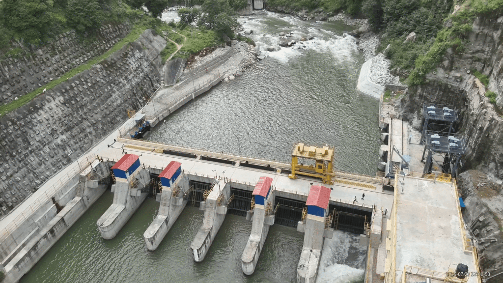
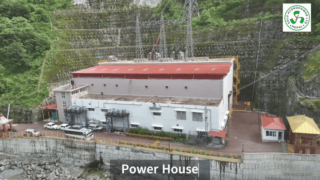
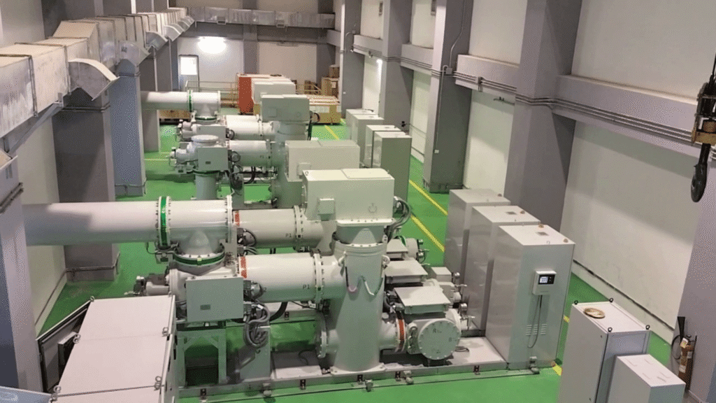
Harnessing the perennial flow of the Solu River, the Lower Solu Hydropower Project (LSHPP) is among the largest privately developed energy ventures in Eastern Nepal. Situated between elevations of 1,266 m and 1,771 m in the Middle Mountain region of the Lesser Himalayas, the project operates with a net head of 476 m and a design discharge of 19.85 m³/s, producing 444.67 GWh of annual saleable energy. It aims to power over 3 million people with clean, reliable electricity while supporting sustainable regional growth.
The 82 MW Lower Solu Hydropower Project generates 444.67 GWh annually, delivering clean, reliable energy to over 3 million people while advancing sustainable development in Nepal.
Nestled in the Middle Mountains of the lesser Himalayas, the Lower Solu Hydropower Project (LSHPP) is situated on the Solu River in Solukhumbu District, Province No. 1, Eastern Nepal. The Solu River, a major tributary of the Dudh Koshi, originates from the sacred Dhudh Kunda in the Numbur Mountain range.
The project spans elevations from 1,266 m to 1,771 m above mean sea level, with headworks located approximately 18 km upstream from the river’s confluence. The entire project lies within the Solududhkunda Municipality of Solukhumbu.
")